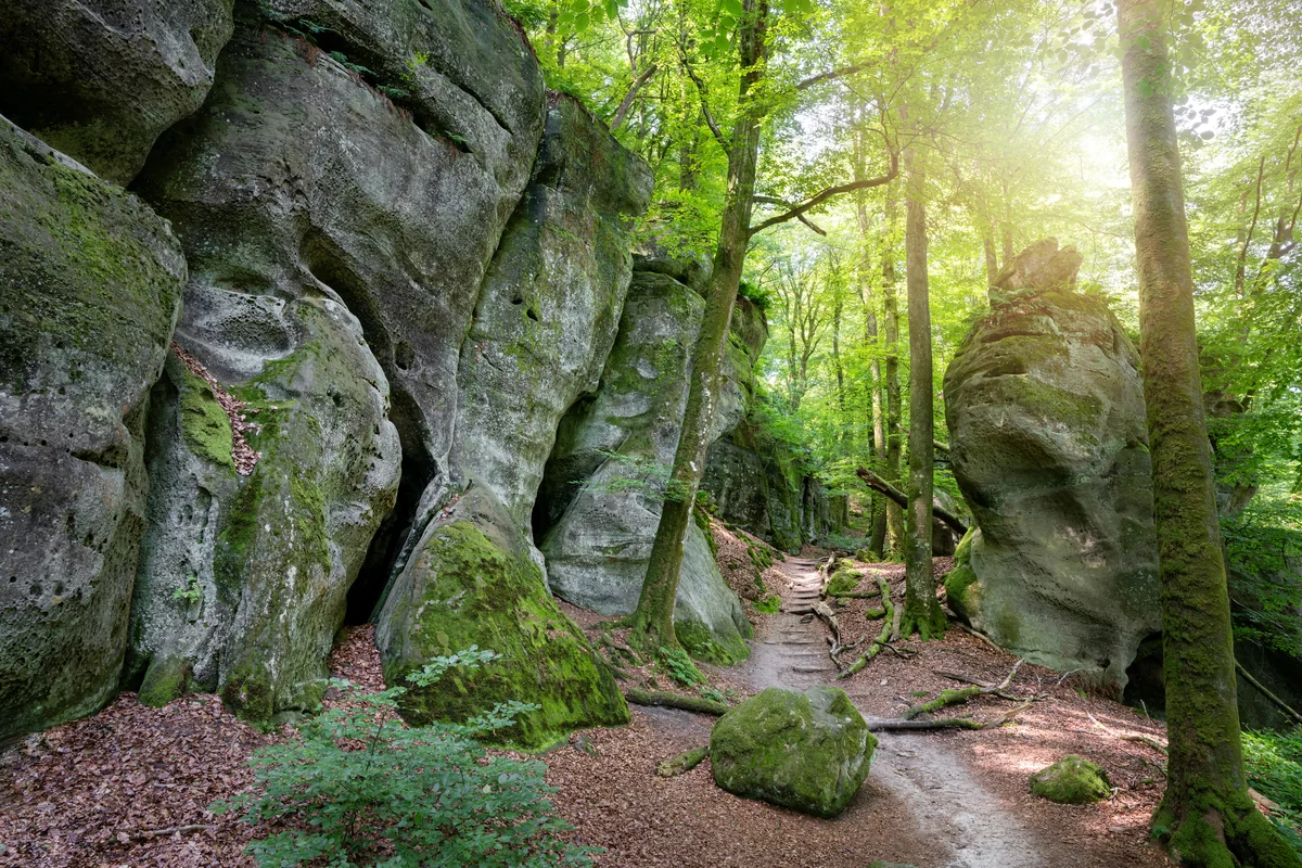
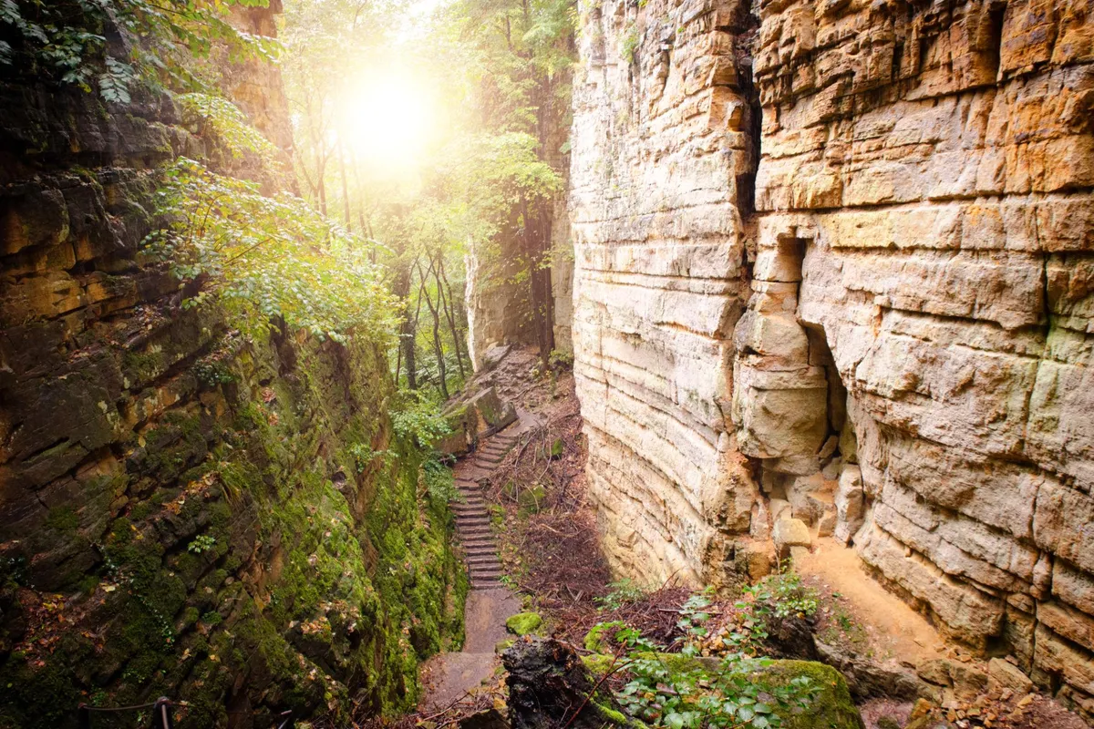
A forest path winding between tall moss-covered sandstone rocks in bright morning sunlight
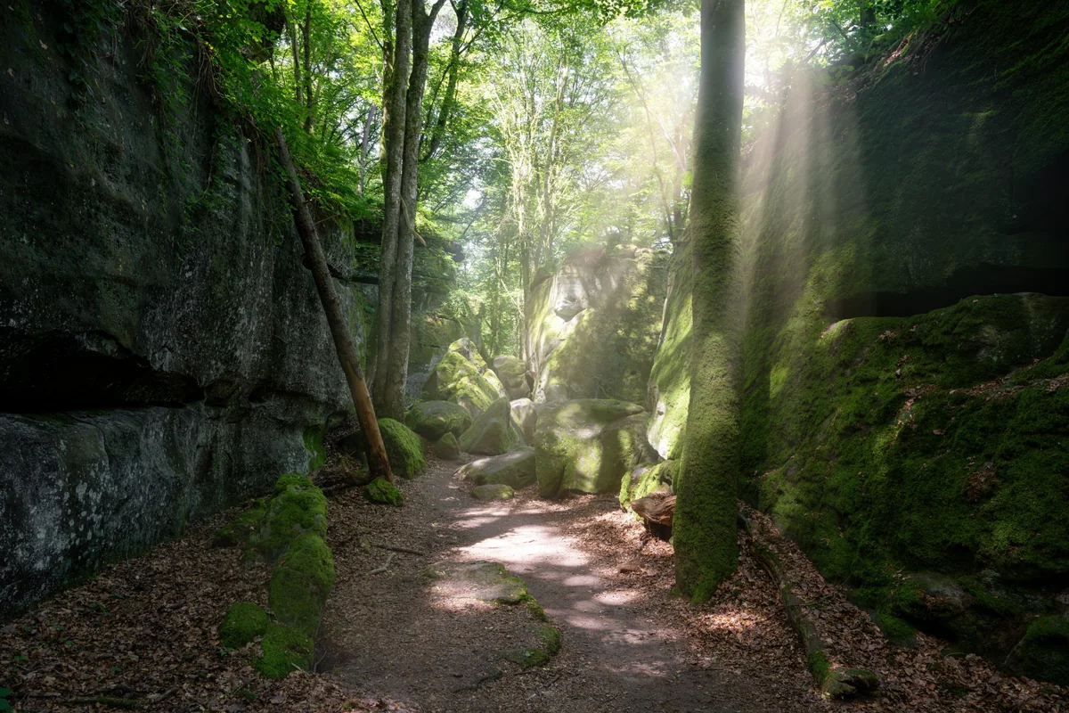
Sunbeams falling into a mossy sandstone gorge with a leaf-covered path between the rock walls
Luxembourg Mullerthal Verified campsite to campsite, checked November 2026

Mullerthal in 5 days

A loop through Luxembourg's "Little Switzerland" — sandstone gorges, mossy boulders and beech forest — with every night at a village campsite.

Download GPX
Total distance
64.9 km
Walking days
5
Avg per day
13 km
Ascent / descent
+1,630 / −1,640 m
Difficulty
Moderate
Best period
Apr – Oct
Route type
Loop
Solid line: planned track along OpenStreetMap paths. Dashed: no track yet. Map: OpenFreeMap / OpenStreetMap.

Elevation profile

100 200 300 400 500 0 km10 km20 km30 km40 km50 km60 km Day 1 Day 2 Day 3 Day 4 Day 5
From 185 m to 414 m over 64.9 km. Elevation in metres, from the planned track.

Photos from the trail

1 / 6
A forest path winding between tall moss-covered sandstone rocks in bright morning sunlight
Sunbeams falling into a mossy sandstone gorge with a leaf-covered path between the rock walls
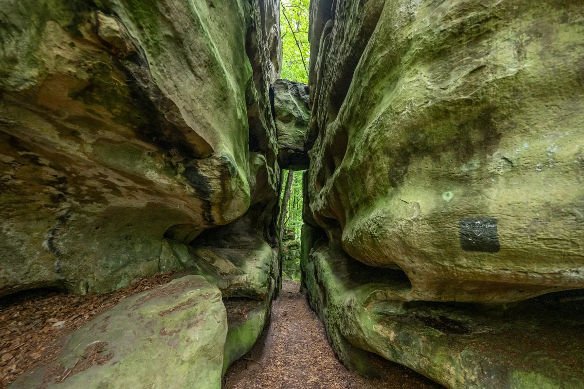
A narrow path squeezing through a crevice between two huge, rounded sandstone rocks
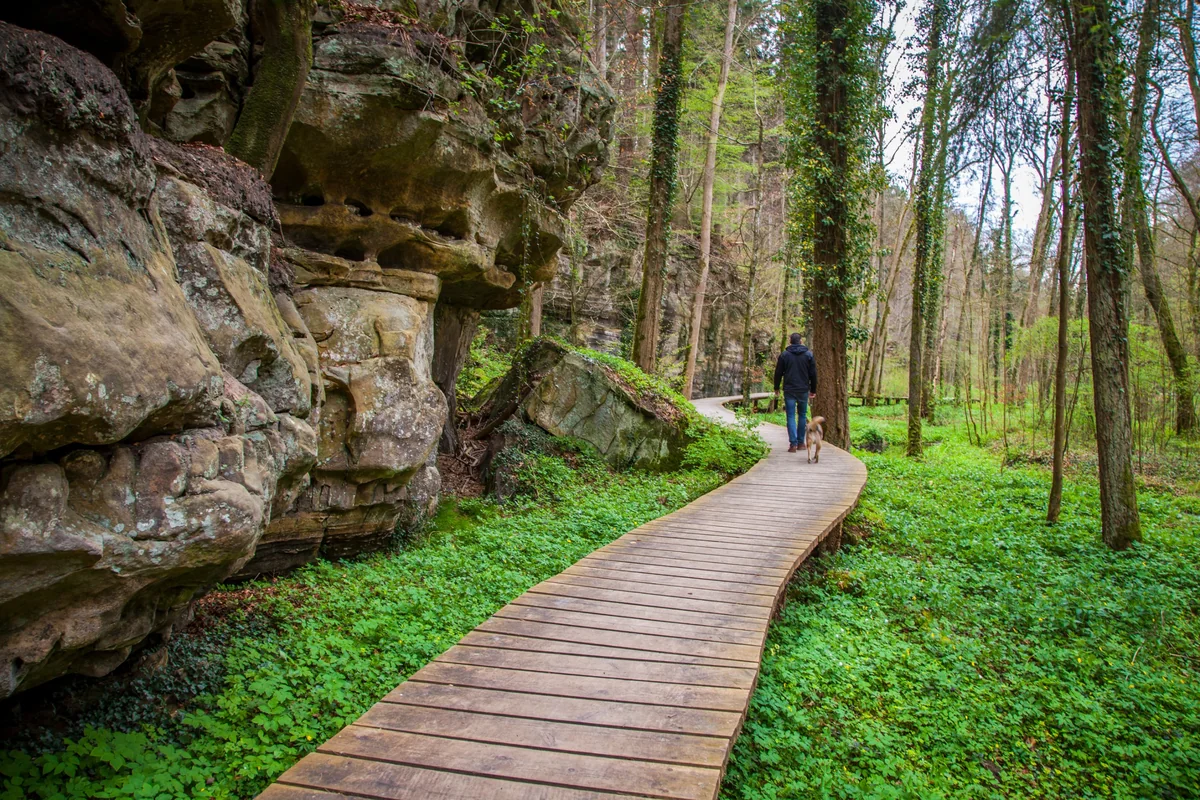
A hiker with a dog on a curving wooden boardwalk past sandstone cliffs in a green spring forest
Stone steps leading through a narrow sandstone gorge with sunlight filtering through the trees
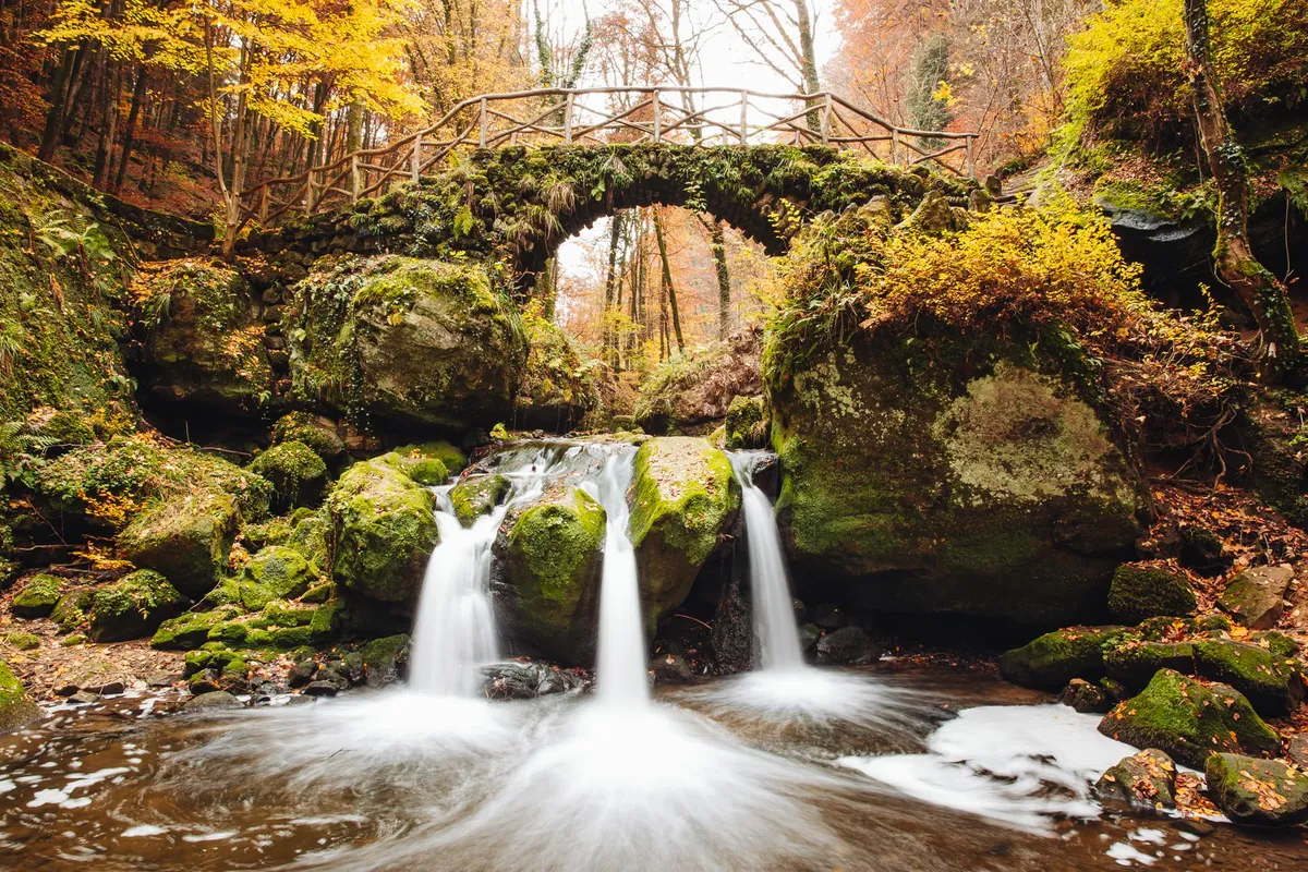
The Schiessentümpel waterfall below its old stone bridge in autumn colours

When to go

The top row shows when the trail itself is in good condition (snow, heat, services). Below it, when each campsite is open — the trek works when both line up. Trail conditions can differ from year to year, so always keep an eye on local websites before and during your trek.

When the trail is in condition, opening months per campsite, and when all campsites are open together
Row AprMayJunJulAugSepOct
Trail season PossibleBestBestPossiblePossibleBestPossible
Campsites open
Berdorf OpenOpenOpenOpenOpenOpenOpen
Beaufort OpenOpenOpenOpenOpenOpenOpen
Larochette OpenOpenOpenOpenOpenOpenOpen
Consdorf OpenOpenOpenOpenOpenOpenOpen
Echternach OpenOpenOpenOpenOpenOpenPart
All campsites open OpenOpenOpenOpenOpenOpenPart

Day by day

Day 1: Echternach → Berdorf

Distance
6.4 km
Up / down
+350 / −200 m
Walking time
2h 30

Landscape

Straight from town into sandstone gorges and beech forest, then up onto the Berdorf plateau.

Along the way

Wolfsschlucht gorge just outside Echternach; rock passages and viewpoints over the Sûre valley.

Water & groceries

Stock up in Echternach before you leave — this short stage passes no shops. The campsite has a restaurant.

Tonight

Camping Martbusch. Large campsite with a restaurant; ask for a quiet tent pitch.

Day 2: Berdorf → Beaufort

Distance
16.6 km
Up / down
+420 / −420 m
Walking time
5h 15

Landscape

Deep, narrow ravines, moss-covered boulders and streams.

Along the way

Rock formations around Berdorf; the Schiessentümpel waterfall in the Müllerthal; Beaufort castle ruins.

Water & groceries

Carry lunch and water for the day; the trail passes through the hamlet of Müllerthal halfway. Beaufort village, next to the campsite, has shops and restaurants.

Tonight

Camping Park Beaufort. Village campsite with hikers' cabins as a fallback in bad weather.

Day 3: Beaufort → Larochette

Distance
14.3 km
Up / down
+290 / −270 m
Walking time
4h 15

Landscape

Open farmland ridges alternating with forested valleys.

Along the way

Larochette castle above the town at the end of the day.

Water & groceries

No shops expected on the way — carry water for the whole day. Mini supermarket at the campsite.

Tonight

Camping Auf Kengert. The campsite sits on a plateau above Larochette, about 1 km off the waymarked trail. The last stretch leaves the Mullerthal Trail and climbs through the woods to the gate.

Day 4: Larochette → Consdorf

Distance
15.5 km
Up / down
+300 / −360 m
Walking time
4h 45

Landscape

Down into the Ernz valley, then long forest paths over the sandstone plateau. For about 7 km in the middle the route leaves the waymarked Mullerthal Trail and follows unmarked forest tracks to keep the day under 16 km — have the GPX ready.

Along the way

The Burgkapp rock viewpoint; sandstone outcrops on the way to Consdorf.

Water & groceries

The track skips Larochette town, so buy lunch at the campsite shop before you leave and carry water for the day. Mini supermarket at the campsite in Consdorf.

Tonight

Camping La Pinède. Campsite with a mini supermarket and bread service.

Day 5: Consdorf → Echternach

Distance
12.1 km
Up / down
+270 / −390 m
Walking time
3h 45

Landscape

Through the rock labyrinths of the Mullerthal, then down into the Sûre valley.

Along the way

The Perekop rock tower, the Grotte des Celtes and the Grotte Sainte-Barbe; final views over Echternach.

Water & groceries

Full shops in Echternach.

Tonight

Camping Officiel Wollefsschlucht. Back at the start campsite — or take the bus home.

Walking times are calculated with the DIN 33466 hiking formula (4 km/h, 300 m/h up, 500 m/h down), without breaks.

About this trek

The Mullerthal is Luxembourg’s most famous walking area: a compact plateau cut by narrow sandstone gorges, where you squeeze between rock walls covered in moss and ferns and then walk out onto open farmland. This loop follows the waymarked Mullerthal Trail and links five village campsites, so you can walk it with your own tent without a single transfer.

The stages are short to moderate, but the many small climbs add up: expect steps, roots and narrow passages that are slower with a full pack. Spring and early autumn are the quietest times; in July and August campsites fill up with families, so ask about reservations.

Why camp to camp here? Luxembourg has a dense network of good campsites and a well-signed trail, and buses connect Echternach with Luxembourg City — ideal for a first multi-day trek with a tent.

Campsite to Campsite check

Automatic check of our eight conditions.

  • Every night at a regular campsite that accepts tents
  • Every campsite reachable on foot from the route
  • Each stage starts where yesterday ended — at most a short transfer of 30 minutes, always shown
  • No wild camping or bivouacs needed
  • No huts, hotels or hostels as standard overnight
  • All campsites open during the stated season
  • Daily distance and ascent measured and checked
  • Walkable with a full trekking pack

GPX downloads

Works with Garmin, Komoot, OsmAnd and other apps.

Walked it recently?

Report a closed campsite, a detour or a new water point. Every report is checked before the route changes.

Report an update

Mullerthal in 5 days