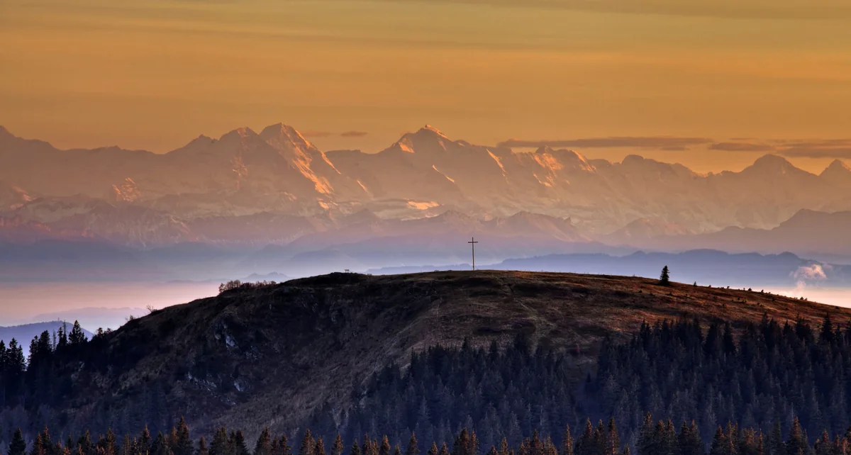
A summit cross on a bare Black Forest hilltop, with the snow-covered Swiss Alps glowing behind it at sunrise
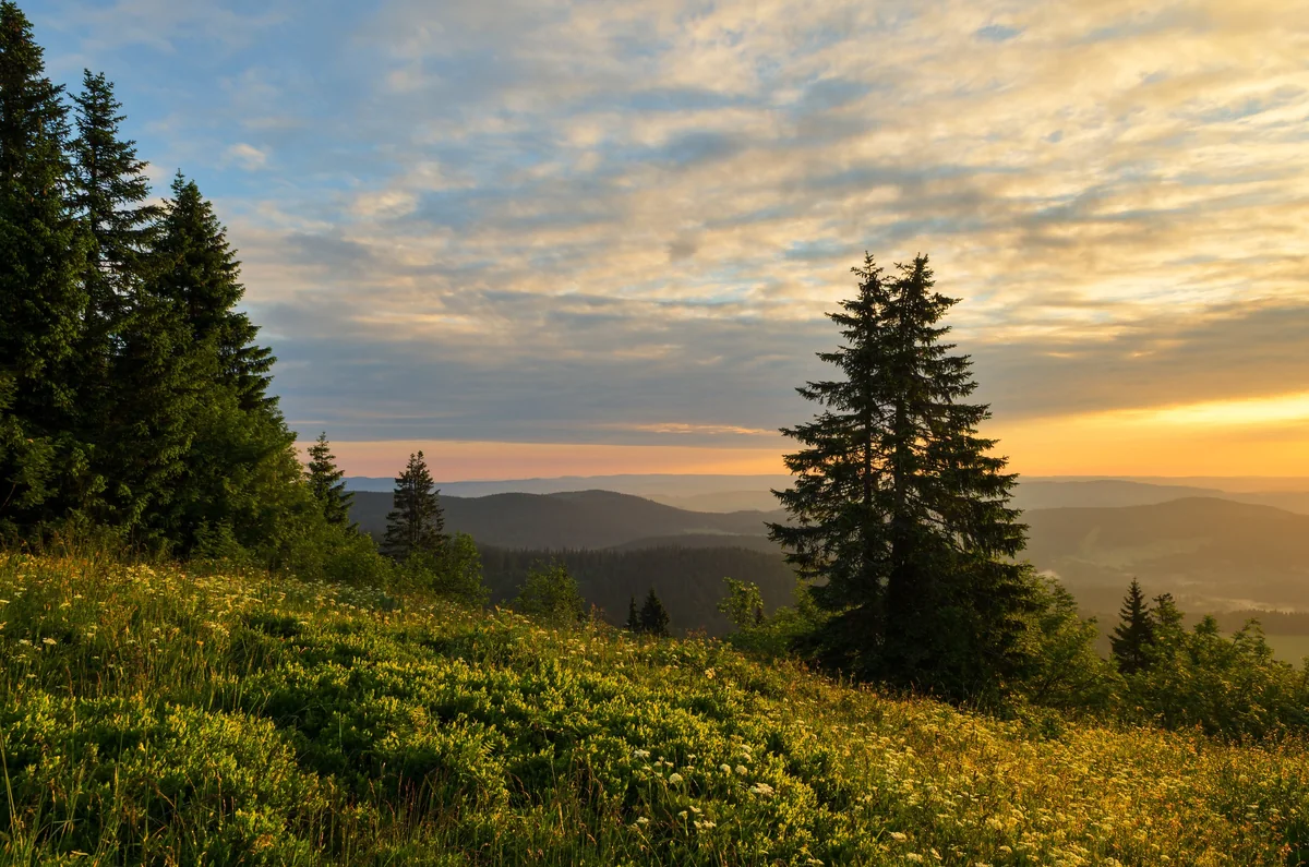
Early sunlight on a flowering mountain meadow with spruce trees and forested hills fading into the distance
Germany Southern Black Forest (Feldberg) Verified campsite to campsite, checked November 2026

Black Forest South loop in 5 days

A five-day loop from the Titisee over the Herzogenhorn and the Feldberg — the two highest summits of the Black Forest — with lakes, high pastures and the Ravenna gorge.

Download GPX
Total distance
81 km
Walking days
5
Avg per day
16.2 km
Ascent / descent
+3,140 / −3,140 m
Difficulty
Moderate
Best period
May – Oct
Route type
Loop
Solid line: planned track along OpenStreetMap paths. Dashed: no track yet. Map: OpenFreeMap / OpenStreetMap.

Elevation profile

400 800 1200 1600 0 km10 km20 km30 km40 km50 km60 km70 km80 km Day 1 Day 2 Day 3 Day 4 Day 5
From 444 m to 1489 m over 81.0 km. Elevation in metres, from the planned track.

When to go

The top row shows when the trail itself is in good condition (snow, heat, services). Below it, when each campsite is open — the trek works when both line up. Trail conditions can differ from year to year, so always keep an eye on local websites before and during your trek.

When the trail is in condition, opening months per campsite, and when all campsites are open together
Row AprMayJunJulAugSepOct
Trail season Not advisedPossibleBestBestBestBestPossible
Campsites open
Schluchsee OpenOpenOpenOpenOpenOpenOpen
Steinbruch (Schluchsee / Bernau) ClosedOpenOpenOpenOpenOpenOpen
Todtnau-Muggenbrunn (Notschrei) OpenOpenOpenOpenOpenOpenOpen
Oberried OpenOpenOpenOpenOpenOpenOpen
Titisee (Hinterzarten) ClosedOpenOpenOpenOpenOpenPart
All campsites open ClosedOpenOpenOpenOpenOpenPart

Day by day

Day 1: Titisee (Hinterzarten) → Schluchsee

Distance
12.8 km
Up / down
+230 / −130 m
Walking time
3h 45

Landscape

An easy start over gentle forested hills and meadows from the Titisee to the shore of the Schluchsee, the largest lake in the Black Forest.

Along the way

Two lakes in one day; time for a swim in the Schluchsee.

Water & groceries

Shops in Titisee and in Schluchsee village.

Tonight

Campingplatz Schluchsee. Lakeside campsite about 1 km from Schluchsee village, with a shop and restaurant.

Day 2: Schluchsee → Steinbruch (Schluchsee / Bernau)

Distance
12 km
Up / down
+340 / −420 m
Walking time
4h

Landscape

Up into the quiet forests west of the lake, over heights of more than 1200 m, to the trekking camp in an old quarry.

Along the way

Some of the quietest forest of the southern Black Forest.

Water & groceries

Last shops in Schluchsee — carry all food and 4–5 litres of water per person for the night.

Tonight

Trekking-Camp Steinbruch. Trekking camp — 3 tent pitches, compost toilet, fire pit, no water. Book ahead.

Day 3: Steinbruch (Schluchsee / Bernau) → Todtnau-Muggenbrunn (Notschrei)

Distance
20.9 km
Up / down
+940 / −770 m
Walking time
7h 30

Landscape

The big day. Over the Herzogenhorn (1415 m) and the Feldberg (1493 m), the two highest summits of the Black Forest, then along the high ridge past the Stübenwasen to the Notschrei.

Along the way

Open summits above the tree line, with views to the Alps on clear days; the Feldberg tower.

Water & groceries

Mountain inns on the Herzogenhorn and Feldberg and at the Stübenwasen. Little at the Notschrei.

Tonight

Camping Hochschwarzwald. Campsite at Muggenbrunn, just below the Notschrei. Start early — this is the longest day.

Day 4: Todtnau-Muggenbrunn (Notschrei) → Oberried

Distance
15.2 km
Up / down
+580 / −1,110 m
Walking time
6h

Landscape

Over the high pastures north of the Notschrei and a long descent through the forest into the Oberried valley.

Along the way

Wide views over the Dreisam valley towards Freiburg.

Water & groceries

Shops in Oberried.

Tonight

Camping Kirnermartes. Campsite in the Oberried valley at the foot of the Feldberg massif.

Day 5: Oberried → Titisee (Hinterzarten)

Distance
20.1 km
Up / down
+1,050 / −710 m
Walking time
7h 30

Landscape

A long climb from Oberried over the Hinterwaldkopf (1198 m), then down through the Ravenna gorge with its waterfalls to Hinterzarten and back to the Titisee.

Along the way

The waterfalls of the Ravenna gorge and the tall railway viaduct above it; the old inn Hofgut Sternen at Höllsteig.

Water & groceries

Hofgut Sternen at the bottom of the gorge. Shops in Hinterzarten and Titisee.

Tonight

Naturcamping Weiherhof. Back at the start campsite at the Titisee (open 1 May – 15 October).

Walking times are calculated with the DIN 33466 hiking formula (4 km/h, 300 m/h up, 500 m/h down), without breaks.

About this trek

The southern Black Forest is where the range reaches its highest point. Around the Feldberg, the summits rise above the tree line into open pastures, and on clear days you can see the whole chain of the Alps from Säntis to Mont Blanc.

This loop starts and ends at the Titisee, visits the Schluchsee, crosses the Herzogenhorn and the Feldberg and returns through the deep Ravenna gorge. Four nights are at regular campsites; one is in a trekking camp in the forest.

About the trekking camp. The Black Forest trekking camps are small clearings in the forest with three tent pitches (max. three people per pitch), a compost toilet and a fire pit, but no water. They must be booked online at trekking-schwarzwald.de (15 € per tent per night, 1 May – 31 October) and fill up quickly at weekends — book that night first.

Campsite to Campsite check

Automatic check of our eight conditions.

  • Every night at a regular campsite that accepts tents
  • Every campsite reachable on foot from the route
  • Each stage starts where yesterday ended — at most a short transfer of 30 minutes, always shown
  • No wild camping or bivouacs needed
  • No huts, hotels or hostels as standard overnight
  • All campsites open during the stated season
  • Daily distance and ascent measured and checked
  • Walkable with a full trekking pack

GPX downloads

Works with Garmin, Komoot, OsmAnd and other apps.

Walked it recently?

Report a closed campsite, a detour or a new water point. Every report is checked before the route changes.

Report an update

Black Forest South loop in 5 days