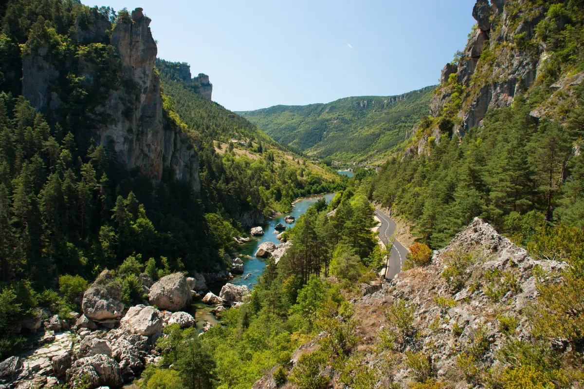
The Tarn winding green through the gorge between steep wooded slopes and limestone cliffs, seen from above
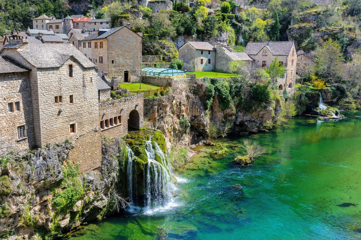
Saint-Chély-du-Tarn, with its stone houses and church, and a waterfall spilling into the green river
France Gorges du Tarn Verified campsite to campsite, checked November 2026

Gorges du Tarn in 4 days

Four short days through one of Europe's great canyons — limestone cliffs, cliff-side hamlets and the green Tarn below — with a riverside campsite every night.

Download GPX
Total distance
63.2 km
Walking days
4
Avg per day
15.8 km
Ascent / descent
+2,810 / −2,940 m
Difficulty
Moderate
Best period
May – Sep
Route type
Point to point
Solid line: planned track along OpenStreetMap paths. Dashed: no track yet. Map: OpenFreeMap / OpenStreetMap.

Elevation profile

300 500 700 900 1100 0 km10 km20 km30 km40 km50 km60 km Day 1 Day 2 Day 3 Day 4
From 391 m to 988 m over 63.2 km. Elevation in metres, from the planned track.

Photos from the trail

1 / 1
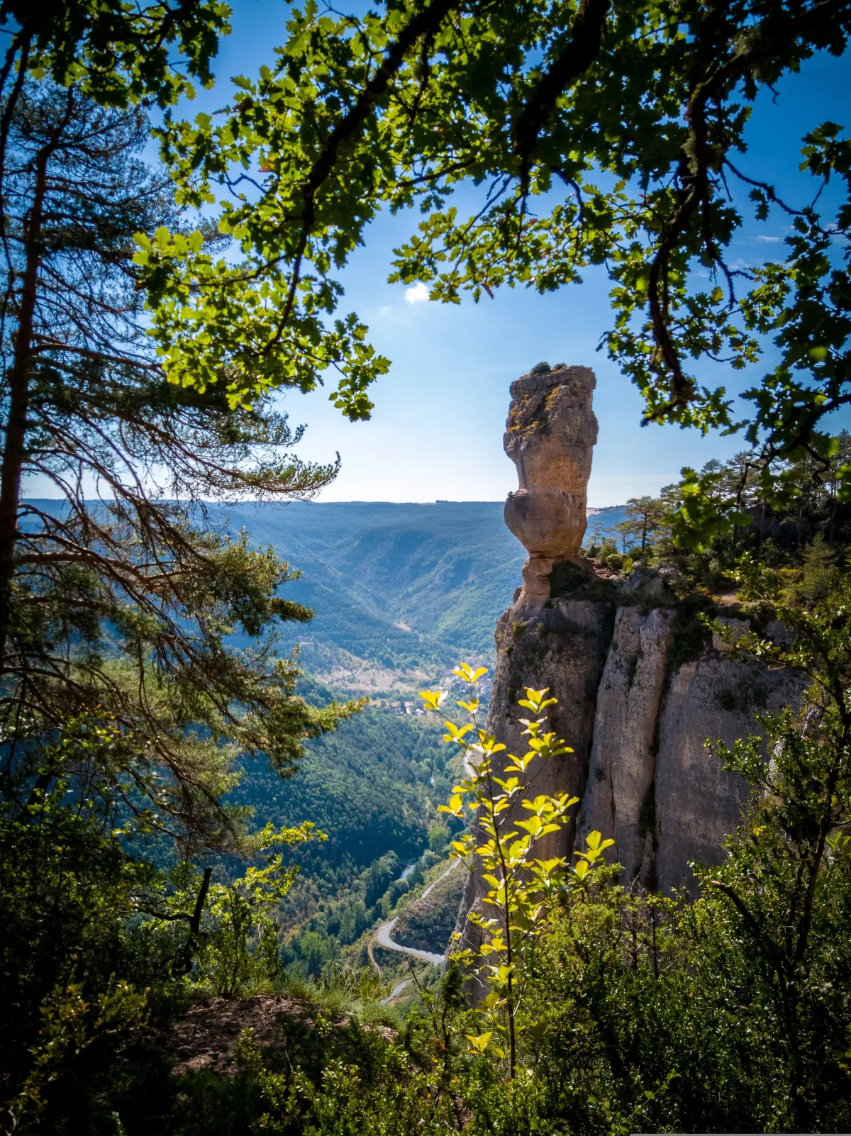
A tall limestone pillar on the Corniches du Causse Méjean above the gorge
Rock pillars on the Corniches du Causse Méjean (day 4)

When to go

The top row shows when the trail itself is in good condition (snow, heat, services). Below it, when each campsite is open — the trek works when both line up. Trail conditions can differ from year to year, so always keep an eye on local websites before and during your trek.

When the trail is in condition, opening months per campsite, and when all campsites are open together
Row AprMayJunJulAugSepOct
Trail season PossibleBestBestPossiblePossibleBestPossible
Campsites open
Sainte-Enimie ClosedOpenOpenOpenOpenOpenPart
La Malène PartOpenOpenOpenOpenPartClosed
Les Vignes ClosedPartOpenOpenOpenPartClosed
Le Rozier OpenOpenOpenOpenOpenPartClosed
All campsites open ClosedPartOpenOpenOpenPartClosed

Day by day

Day 1: Ispagnac → Sainte-Enimie

Distance
15.4 km
Up / down
+750 / −790 m
Walking time
6h

Landscape

From the wide upper valley the path climbs onto the slopes of the causse, with views down into the start of the gorge, then drops to Sainte-Enimie.

Along the way

Views down to the castle village of Castelbouc below its rock; Sainte-Enimie, one of the "most beautiful villages of France".

Water & groceries

Shops in Ispagnac — buy food for the day. Full supplies in Sainte-Enimie.

Tonight

Camping Les Gorges du Tarn. Riverside campsite just outside Sainte-Enimie.

Day 2: Sainte-Enimie → La Malène

Distance
16.2 km
Up / down
+630 / −650 m
Walking time
5h 45

Landscape

Along the side of the gorge, through oak and box woods, with the river often far below.

Along the way

Saint-Chély-du-Tarn and its spring-fed waterfall; cliff dwellings at Pougnadoires; the village of Hauterives.

Water & groceries

Café in Saint-Chély (seasonal, to verify). Small shops in La Malène.

Tonight

Camping Municipal Le Pradet. Small municipal campsite by the river.

Day 3: La Malène → Les Vignes

Distance
14.3 km
Up / down
+600 / −640 m
Walking time
5h 15

Landscape

High on the slopes of the deepest and narrowest part of the canyon, with sheer walls on both sides.

Along the way

The Rocher de la Barre above the Détroits narrows; views over the Cirque des Baumes.

Water & groceries

Few or no supplies on the way — carry water and lunch. Limited shopping in Les Vignes.

Tonight

Camping Huttopia Gorges du Tarn. Nature campsite on the banks of the Tarn, about 1.1 km upstream from Les Vignes.

Day 4: Les Vignes → Le Rozier

Distance
17.3 km
Up / down
+830 / −860 m
Walking time
6h 45

Landscape

Along the Tarn as the gorge opens up, then a steep climb onto the Causse Méjean and the famous Corniches path along the cliff edge above the Jonte, before dropping down to Le Rozier.

Along the way

The Corniches du Causse Méjean — the rock pillars of the Vase de Chine and Vase de Sèvres, views straight down into the Gorges de la Jonte and the Tarn, and the descent past the Rocher de Capluc.

Water & groceries

No water or shops on the plateau — fill up in Les Vignes and carry at least 2 litres. Shops in Le Rozier and Peyreleau.

Tonight

Camping Municipal de Brouillet. Municipal campsite in Le Rozier — or take the bus to Millau.

Walking times are calculated with the DIN 33466 hiking formula (4 km/h, 300 m/h up, 500 m/h down), without breaks.

About this trek

The Gorges du Tarn cut more than 400 metres deep into the limestone plateaus of the Causses, in the south of France. Villages cling to the cliffs, the river is clear and green, and the walking is varied: woodland paths high on the slopes, old mule tracks and short stretches along the water.

This route follows the waymarked GR736 for most of four short days — on day 1 it takes local paths higher up the slope for the views — and sleeps at a campsite in every village along the way. The daily distances are modest, but the first and last days climb well above the river — the last one over the famous Corniches du Causse Méjean. Start early in summer: it gets hot in the gorge and there is no shade on the plateau.

Why campsite to campsite here? The gorge is a classic canoe destination, so there are campsites in almost every village. That makes it one of the easiest places in Europe to walk with your own tent.

Campsite to Campsite check

Automatic check of our eight conditions.

  • Every night at a regular campsite that accepts tents
  • Every campsite reachable on foot from the route
  • Each stage starts where yesterday ended — at most a short transfer of 30 minutes, always shown
  • No wild camping or bivouacs needed
  • No huts, hotels or hostels as standard overnight
  • All campsites open during the stated season
  • Daily distance and ascent measured and checked
  • Walkable with a full trekking pack

GPX downloads

Works with Garmin, Komoot, OsmAnd and other apps.

Walked it recently?

Report a closed campsite, a detour or a new water point. Every report is checked before the route changes.

Report an update

Gorges du Tarn in 4 days